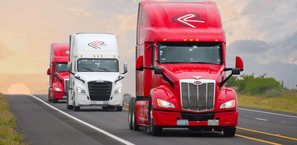
When we talk about logistics infrastructure that truly keeps the continent moving, few routes are as iconic as the Pan-American Highway. This legendary network of roads stretches from the northernmost point of the Americas to the southern tip of the continent, serving as a vital artery for trade, tourism, and cultural exchange between countries. For Mexico and the United States, its importance is not only historical but also economic and geostrateg
What Is the Pan-American Highway and When Was It Built?
The Pan-American Highway is a network of roads extending from Prudhoe Bay, Alaska, to Ushuaia, Argentina, with one major interruption in the Darién Gap, between Panama and Colombia. Construction began in the 1930s as an inter-American cooperation project promoted by the Pan American Highway Congress.
In Mexico, the Pan-American Highway was officially inaugurated in 1950 as part of an effort to promote continental integration. It is considered one of the longest highway networks in the world.
Why Is It So Important to Mexico and the United States?
For both countries, this route represents:
- A backbone of ground trade under the USMCA.
- A critical logistics corridor for international freight transportation, particularly between central and southern Mexico and the southern United States.
- A tourism and mobility link that strengthens connectivity between thousands of communities.
- A strategic foundation for the development of industrial and logistics corridors.
Total Distance and Mexican States Along the Route
The Pan-American Highway network in Mexico covers approximately 3,100 kilometers, stretching from Ciudad Cuauhtémoc, Chihuahua, to Ciudad Hidalgo, Chiapas.
Mexican States Along the Route:
- Chihuahua
- Durango
- Zacatecas
- Aguascalientes
- Guanajuato
- Querétaro
- Estado de México
- Ciudad de México
- Morelos
- Puebla
- Oaxaca
- Chiapas
This corridor connects with several major national highways, including Federal Highways 45, 57, 95, and 190, providing strategic coverage across the country.
Key Border Crossings
The Pan-American Highway connects Mexico and the United States through several international bridges, including:
- Paso del Norte International Bridge (Ciudad Juárez – El Paso)
- Zaragoza-Ysleta International Bridge (Juárez – El Paso)
- Reynosa-Hidalgo International Bridge
- Colombia-Solidarity International Bridge
- Nuevo Laredo III International Bridge – Laredo, Texas (connected through alternate routes)
These border crossings are essential for freight transportation, particularly for the automotive, electronics, and agri-food industries.
What Improvements Could Help Strengthen the Route?
Despite its importance, the Pan-American Highway network requires continued modernization. Potential improvements include:
- Digitalization of customs and border control processes.
- Upgrading highway infrastructure with more efficient and sustainable paving solutions.
- Developing green corridors for electric vehicles.
- Expanding infrastructure for multimodal transportation..
- Implementing satellite monitoring and IoT technology to improve road safety.
Key Facts About This Continental Connection
- The Pan-American Highway network spans more than 30,000 kilometers from the northernmost to the southernmost points of the Americas.
- In Mexico, more than 70% of trade with the United States moves along routes connected to this highway network.
- In 2023, the Nuevo Laredo border crossing —an essential part of this network—handled more than 2.3 million freight trucks. (Source: CBP and ANIERM)
- Mexico has more than 10 paved international border crossings directly connected to the Pan-American Highway network. (Source: SCT)
Conclusion: A Road That Moves the Present and Shapes the Future
The Pan-American Highway is more than a transportation route—it's an artery that beats to the rhythm of trade, culture, and development. Investing in its modernization means building a more connected continent, better prepared to meet the logistics challenges of the future.
At Zaro Transportation, we travel every mile of this network with commitment and efficiency. Do you have freight to move between Mexico and the United States? Let's talk! We're your strategic logistics partner on the road to success.
Sources: Secretaría de Comunicaciones y Transportes / LAC GEO / XATAKA / ANIERM (Asociación Nacional de Importadores y Exportadores de la República Mexicana) / Wikipedia / OpenAI